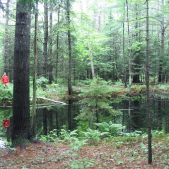
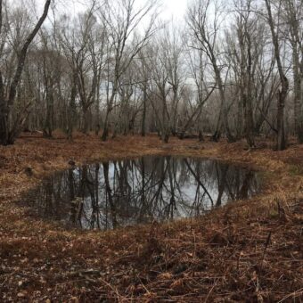
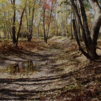
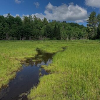
Wetland – upland boundaries can be accurately located, mapped, and appropriate wetland – upland data compiled to comply with Federal, State, and Town regulations. This work can assist in project planning, real estate evaluation, storm water management, and other development or conservation projects.
- Wetland boundaries are located with differentialing GPS equipment, which is subsequently processed by a Professional Land Surveyor to produce a site plan for the property.
- Wetlands of Special Significance, as defined by MDEP under Maine’s NRPA, and other Protected Natural Resources such as vernal pools and streams, are identified during the wetland delineation.
- For US Army Corps of Engineers regulations under Section 404 of the Clean Water Act, jurisdictional determinations are completed in the field.
Clean Water Act §404
Wetland delineations arose from passage of the Clean Water Act §404, which prohibits the discharge of dredged or fill material into waters of the United States – rivers, lakes, streams, and wetlands – unless a permit from the U.S. Army Corps of Engineers (ACOE) has been authorized or the activity is permitted by exemption. These regulations seek to “maintain and restore the chemical, physical, and biological integrity of the waters of the United States.” (1987 ACOE Wetlands Delineation Manual). In 1995 Maine¹s Natural Resource Protection Act (NRPA) was amended to include jurisdiction over all wetlands in the State. The Maine Department of Environmental Protection (MDEP) is responsible for reviewing activities that will affect freshwater wetlands. MDEP developed a three-tiered permitting system based on the area of potential wetland impact.
How are Wetlands Determined?
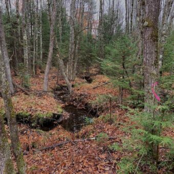
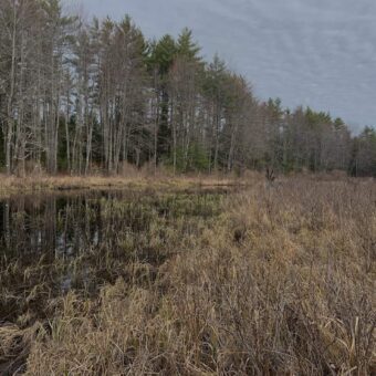
Wetlands are one component of the “waters of the United States”; wetlands can take many forms in Maine: peatlands, fringing marshes adjacent to ponds, floodplain forest, wet meadows, intermittent streams, scrub-shrub swamp (alder, willow, viburnum, holly), and forested fens and bogs. All share physical characteristics that classify them as wetlands: “Those areas that are inundated or saturated by surface or ground water at a frequency and duration sufficient to support, and that under normal circumstances do support, a prevalence of vegetation typically adapted for life in saturated soil conditions.”(1987 ACOE).
Wetlands are determined by evaluation of three parameters: hydrology, soils, and vegetation. Aquic conditions must be present to meet hydrologic requirements, hydric soils must dominate the wetland, and hydrophytic vegetation must also be dominant in order to classify an environment as a wetland.
Investigation of Lake and Bog Sediments
Closed basins such as lakes, ponds, bogs, and associated wetlands often contain continuous records of sedimentation. Since deglaciation approximately 12,000 years ago, annual layers of sediment, plant remains, and pollen have accumulated and become preserved in the anoxic bottom waters of these basins. Using piston coring from a platform at the surface, continuous records of sediment can be retrieved. Cores are subsampled and analyzed for macrofossil remains, organic and carbonate content, radiocarbon determinations, and stable isotopes (d13C and d18O). Analyses from these cores can provide data that document:
- The time of formation of the basin
- The changing forests/ecosystems in the watershed through time
- A history of lake levels (paleohydrology) since deglaciation
- Implications/interpretations for these data
For example, a recent Phase III archaeological site investigation, located on uplands adjacent to a lake shoreline, required a paleohydrologic investigation. Results from the paleohydrologic study showed significant lake level fluctuations during the last 9,000 years. The lake’s surface area had diminished, its outlet had ceased flowing, and a modern inlet stream was functioning as the outlet. These findings suggested that archaeological settlement patterns were probably substantially different than the modern configuration of the lake basin would suggest.
Shoreland Zoning
MANDATORY SHORELAND ZONING: §435. Shoreland areas
“Shoreland areas include those areas within 250 feet of the normal high-water line of any great pond, river or saltwater body, within 250 feet of the upland edge of a coastal wetland, within 250 feet of the upland edge of a freshwater wetland except as otherwise provided in section 438-A, subsection 2, or within 75 feet of the high-water line of a stream.” Within this 250 feet, a municipality shall have a Shoreland Zoning Map, which delineates mapped zones with varying levels of restrictions, such as Resource Protection, Limited Residential, General Development, Stream Protection, and others, as adopted by a specific town or city.
We work closely with a town or city’s Code Enforcement Office or Planning Department, to ensure that the proposed project meets all Shoreland Zoning requirements and restrictions.
Clearing of vegetation within the Shoreland Zone is restricted, and uncontrolled clearing of vegetation or alteration by excavating, dredging, or filling can result in a Notice of Violation (NOV), with a Consent Agreement to follow, that will restore the impacted area to its original and natural state. We work with landowners to resolve these NOVs and implement an approved restoration plan.

